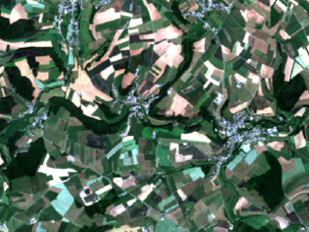
Precision Agriculture is a concept of agriculture managment which continously monitors the state of the crops and their variablity on the fields utilizing spatial information derived from field / tractor based, airborne (e.g. UAV) or satellite systems (Sentinel-2, RapidEye and others). The concept targets an optimizing of the returns for the farmer, but simultaneously reducing negative impacts for the environment e.g. caused by an over-fertilization. The emergence of agricultural machines that are able to use Global Navigation Satellite System (GNSS) makes it possible to use satellite-based maps of field variability. These maps could show simple Vegetation Indice (VI) or more specific information based on the relationship of spectral features with biophysical plant properties (e.g. Leaf Area Index or Chlorophyll content). The spatial information could give essential information to the farmer concerning nutrient deficiencies in the field or a potential diesease spreading in the field.
The following short descriptions of projects should show the possibility of Copernicus data for precision agriculture in Luxembourg or also in the greater region.
