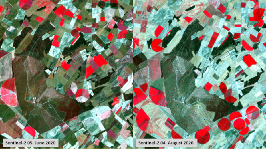
More than 40% of the world's food production comes from irrigated agriculture. Water scarcity and its unsustainable draining in the spectre of climate warming, as well as the increasing competition for fresh water requires improved irrigation water management in agriculture. In many regions of the world, irrigation is of crucial importance for maximizing crop yield. Due to climate change, the occurrence of extreme events such as droughts and dry spells are expected to increase. To answer the critical questions “when to irrigate the crops?”, farmers typically check the actual condition of the plants or the soil in the field, but in situ measurements are hampered by high costs and they do not consider the large spatial variability of crop development, soil conditions and agronomic practices (Vuolo et al. 2015). Point measurements of ET at the field scale (Bowen ratio, Eddy covariance, Lysimeter) are considered very accurate, but are expensive and thus only used for research purposes. For characterizing crop water requirement (CWR) (Ouda et al. 2016) in response to the question “how much water to apply”, it is necessary to quantify the total amount of water that is used by the crop, i.e. ET. EO data offers estimates of actual ET and soil moisture and can help to reduce the irrigation intensity to a lower level to save water, reduce negative impacts to the groundwater resources and on the other hand do not risk a decrease in agricultural productivity.
| Project | Partners | Description | Funding |
| THIRSTY | University of Lisbon, Portugal; Sapienza University of Rome; Trier University, LIST | The project aims to develop an innovative multi-sensor approach at the field scale for improved irrigation scheduling aiming at water savings with minimal impact on crop yield. Airborne TIR data will be used to estimate actual ET and therefore to derive crop stress and satellite SAR data will be used to estimate soil moisture. The retrieved information layers will be incorporated in the widely accepted SIMDualKc soil water balance SWB model to yield an improved irrigation scheduling. The improved RS-based method will be compared with a baseline method and typical irrigation practices. The assessment of the added-value of proposed technology and its acceptability will be performed with the help of relevant local stakeholders (e.g. water-users and farmers associations). | FNR - CORE |
References:
Vuolo, Francesco, Laura Essl, and Clement Atzberger. 2015. “Costs and Benefits of Satellite-Based Tools for Irrigation Management.” Frontiers in Environmental Science 3:1–12.
Ouda S., El-Latif, K.A., and Khalil, F.(2016): Chapter two of „Water Requirements for Major Crops‟: Major Crops and Water Scarcity in Egypt. Springer Briefs in Water Science and Technology, DOI 10.1007/978-3-319-21771-0_2.

